

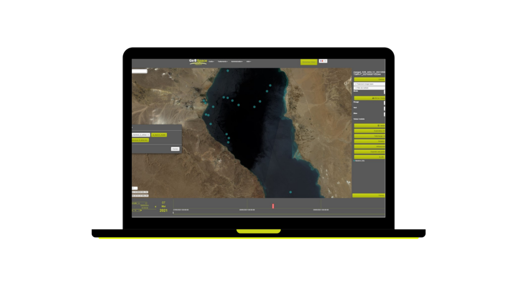
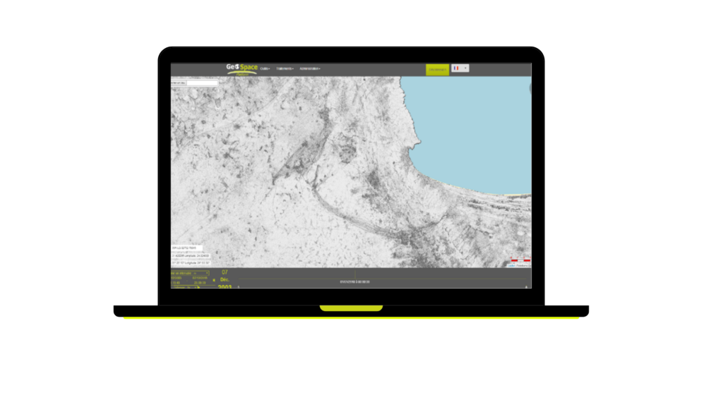
Geospatial analysis production
Imagery specialist and covering the entire spectrum dedicated to Earth observation (Optical, Infrared, Radar…), Geo4i realizes for your benefit :
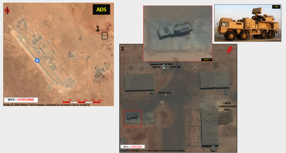
Image analysis
- Security audit
- Strategic intelligence
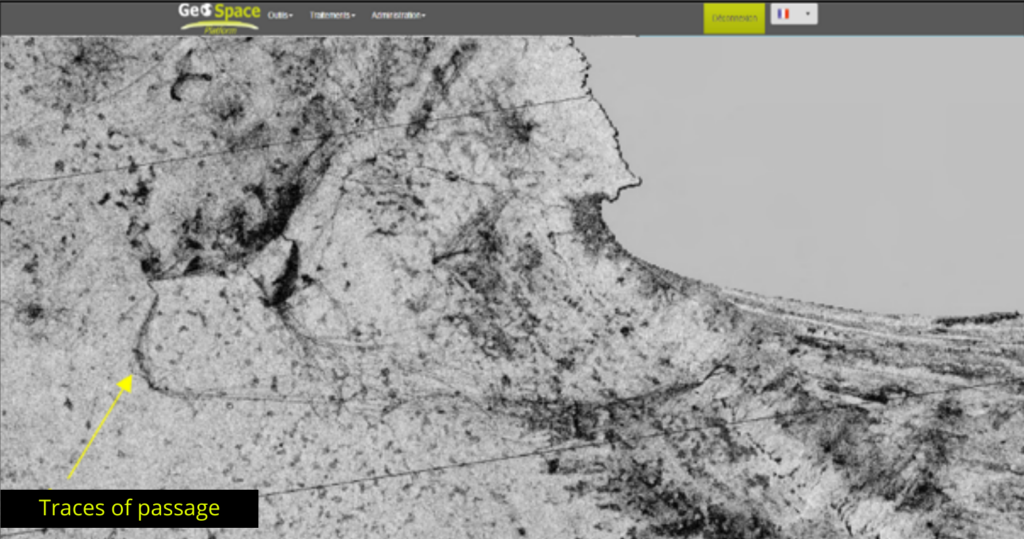
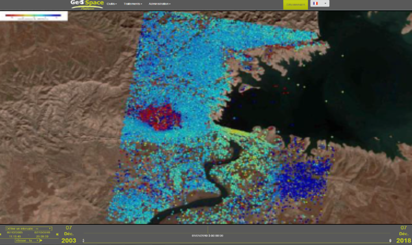
- Study : : subsidence map
- Study : site and’ route
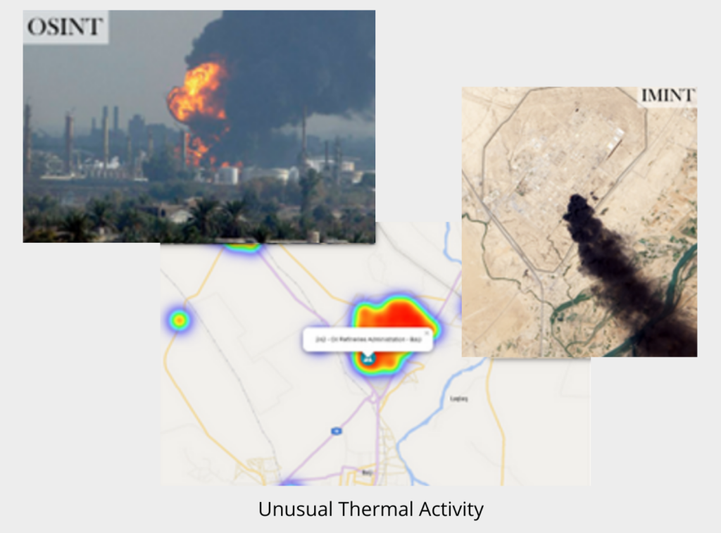
- Activity report
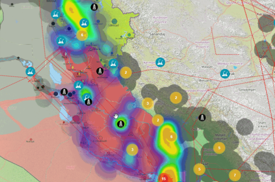
- Change detection
- Risk assessment
- Support to operations
- Specific products on demand
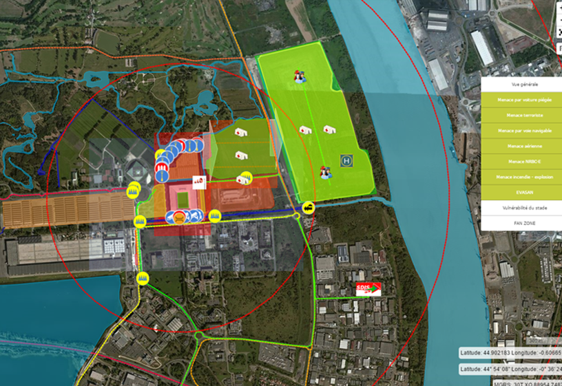
Geospatial analysis
- Decision support products
- Studies of vulnerability
- Studies of practicability
- Risk assessment
- Spatial analysis 2D, 3D, 4D
- Dynamic maps and interactive
- Geospatial products on demand (digital and web)
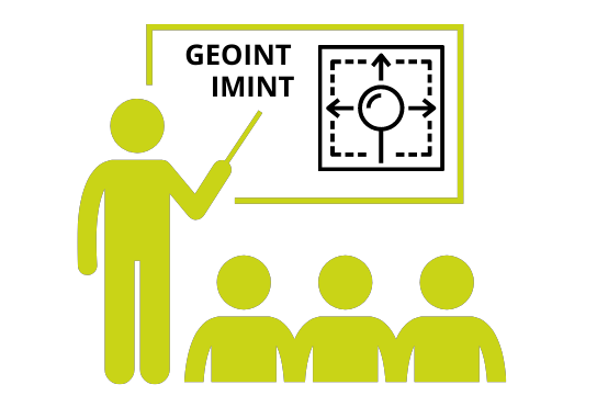
GEOINT & IMINT Trainings
Geo4i exempts from training on various aspects such as the remote sensing, imagery, spatial analysis, geographical information, equipment identification, SAR, etc.
Our trainings can last from one day to several years. They can be customized. We offer general training on global topics, of the specific training on dedicated topics and we also provide operational training in order to give the client all the knowledge necessary for a true autonomous analyst.

Training experience since 2015


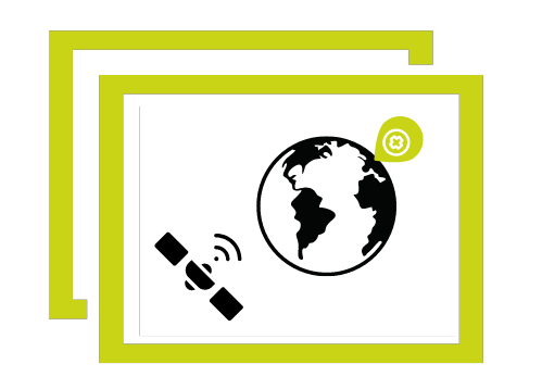
Reseller of spatial data
Through these many partnerships, Geo4i continues to be able to deploy a solution quickly and efficiently. In effect, inasmuch as spatial data reseller , Geo4i accompanies you in the follow-up of your request.
To best meet your needs, Geo4i provides you with the most appropriate spatial data for your needs (Optical, Sar, RF, Infrared, Video, 3D…) , in the delivery method of your choice.
You can indeed order your request by contacting us. You will need to provide us with a set of elements so that we can come back to you with the most appropriate response possible. :
Thank you for your response. ✨
Consulting
Geo4i accompanies you with a solution of advice provision in France as abroad.
Geo4i constantly seeks to provide assistance in image intelligence with the support collection, of the management et geospatial data processing. We advise on tools to use in determining a need. We are also a vector of advice on all the methods to be implemented in order to carry out geospatial analyzes au travers d’audits, evaluations and follow-ups.
- Manage and organize geospatial information
- Acquire suitable image and geolocated data
- Extract and format useful information
- Identify tools adapted to the need
- Adapt and optimize the tools put in place
- Accompany the taking into account of the tools
- Provide short training
- Take into account the cost-effectiveness ratio

- Set up methodologies
- Perform audits and assessments
- Assist in the specification of the need and the choices
- Technological watch in the field of geomatics
- Spatial Imagery Use Case Study
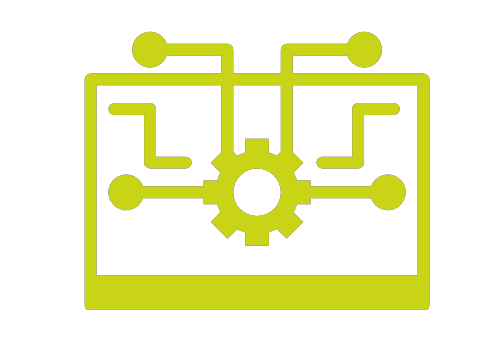
Geospatial softwares supply
Since its creation, Geo4i and its team are looking to develop a set of’ powerful tools allowing to work the surroundings of a satellite image in the most efficient and precise way possible, by lightening the work of the human.
Through its progress, Geo4i has been able to develop effective geospatial tools , already in service for some people with major players around the world. In effect, we seek to make spatial and geospatial image processing more usable for everyone, this is why we did not stop at the development of tools : we market them.
With significant development and research to democratize satellite imagery, do not hesitate, learn more about your satellite images a total autonomy , discovering our tools :